Live Satellite Earth Map View
Sky Labs Studio
Downloads
1,000,000+
Version
Latest
Click to download now, finish the installation quickly, and directly unlock the all-round experience
Screenshots
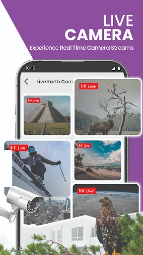
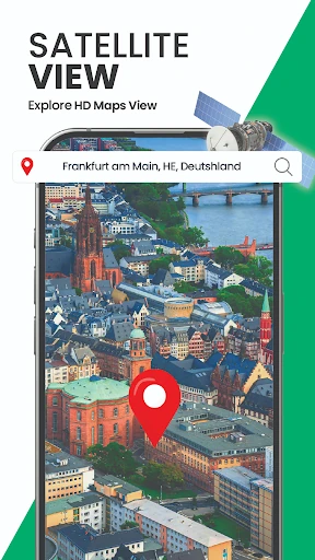

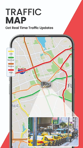

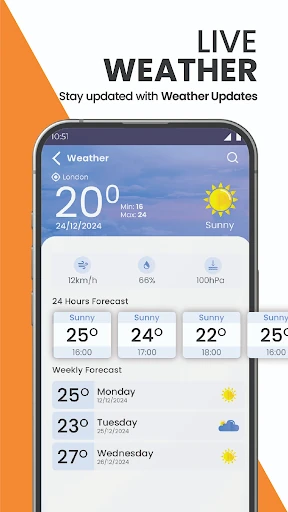
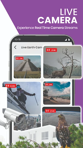

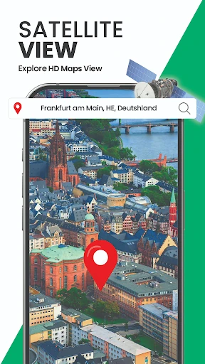
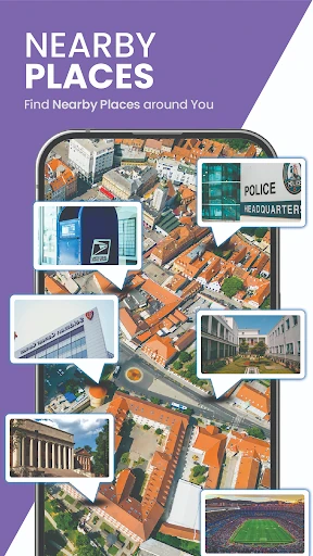




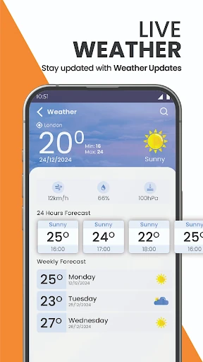
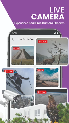

Click to download now, finish the installation quickly, and directly unlock the all-round experience
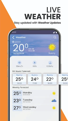
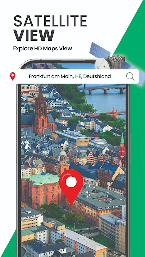
Live Satellite Earth Map View combines satellite imagery, map browsing and GPS navigation in one app. It suits drivers who want to see a route against a more visual view of the surrounding area, as well as anyone who enjoys exploring cities, landmarks, terrain and remote places from a map. You can view locations around the world, check your current position and switch between satellite-style imagery and standard map views.
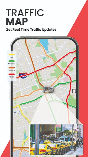
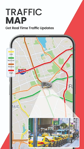
The app includes route planning and turn-by-turn navigation for everyday trips and longer drives. Its traffic map is intended to help you understand road conditions while travelling. A compass supports direction finding, while the speedometer shows current, maximum and average speed. Street-level views and closer map detail can also help you make sense of roads, buildings and nearby areas before or during a journey.
Many navigation apps treat satellite imagery as a secondary view. This one puts the visual side of mapping closer to the centre, making it a reasonable pick if you prefer checking the landscape and layout of a place rather than following a plain road line. The trade-off is that its broad feature set may feel less focused than a dedicated navigation app, so it is best for users who want exploration and driving tools together.
Developed by Sky Labs Studio and listed in Maps & Navigation, the app has passed 1,000,000 installs. Its rating is 3.43 out of 5 from 3,335 reviews. That is a mixed result rather than a clear endorsement, but the install count shows it has found a substantial audience. Choose it for satellite-based browsing with navigation extras, not simply because it appeared first in search.